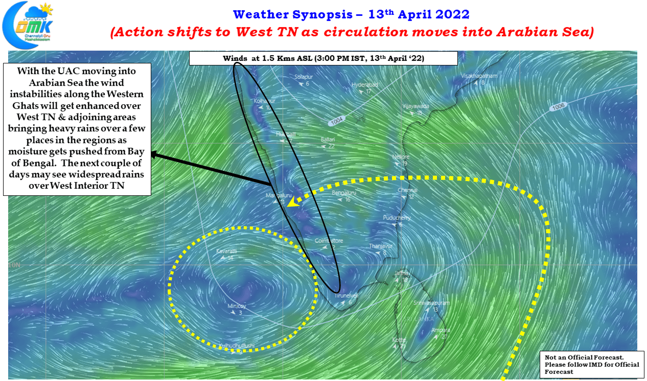
The last few days have seen parts of South Tamil Nadu recieve rains like a peak Northeast Monsoon day as convective thunderstorms made the best out of conditions that are not often seen. Bright sunshine & heat from summer days and abundant moisture supplied from a near stationary circulation creating perfect conditions for not only…
Author: Chennaiyil Oru Mazhaikkaalam
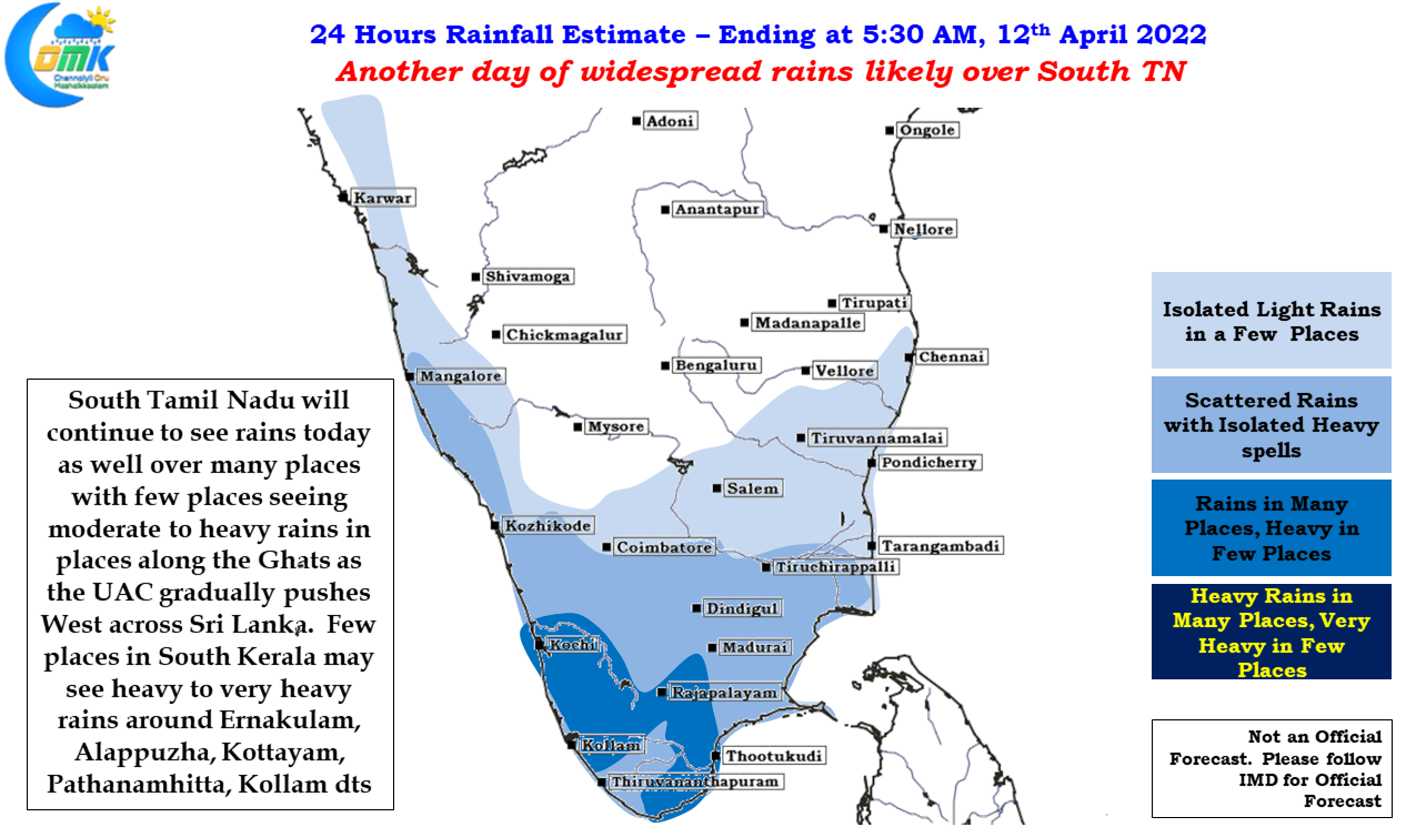
Another day of widespread rains likely for South TN
According to IMD’s Daily Rainfall graph for Tamil Nadu & Pondicherry Sub division the accumulated rainfall for the Pre Monsoon Season (March to May) is 26.3 mm against the average of 32.2 mm for the period upto April 10th. Ironically of the 26.3 mm accumulated since 1st of March the last two days has given…
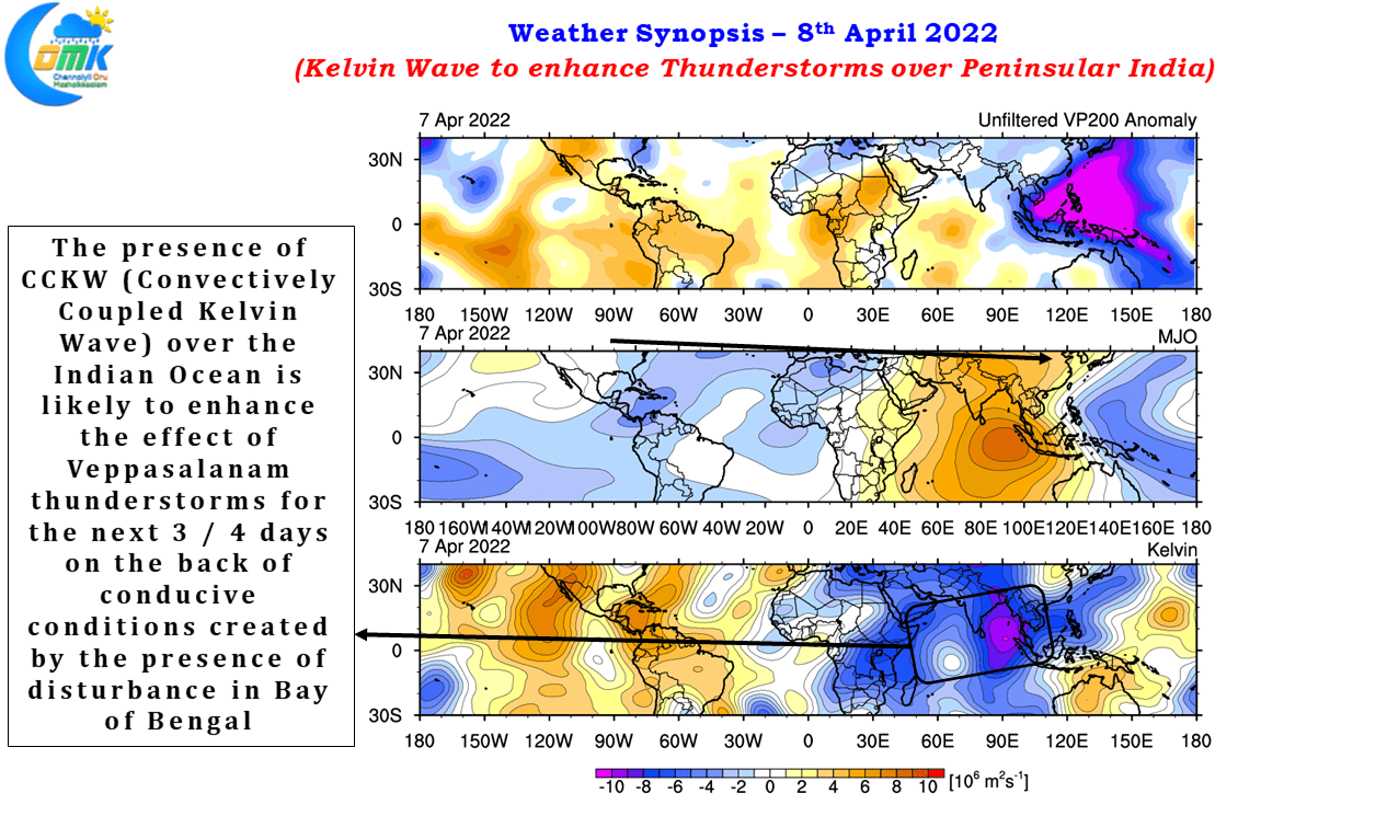
Explosion of Thunderstorms likely over parts of Kerala & South TN
Couple of days back many places in Kerala & parts of South Tamil Nadu saw fairly intense thunderstorm activity as the west to east moving CCKW (Convectionally coupled Kelvin Wave) enhanced the effect of wind instability triggering the Veppasalanam thunderstorms. On 6th April many places in Ernakulam, Kottayam & adjacent Idukki districts saw 3 /…
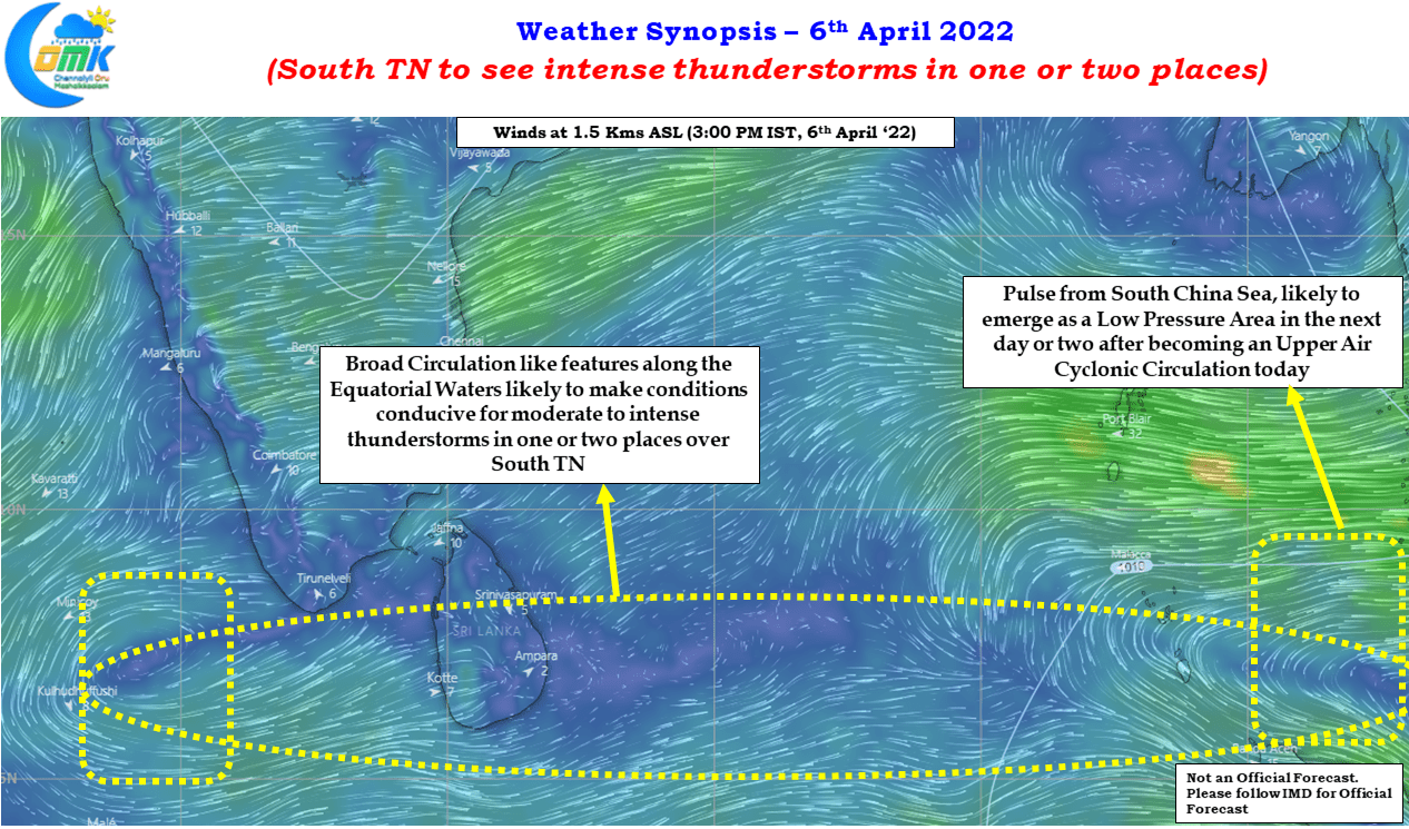
South TN to see intense thunderstorms in one or two places
With the first week of April nearly gone, temperatures climbing up across most of Indian Sub Continent, it is time to look forward to some Pre Monsoon Thunderstorms across the sub continent as the the angle of Sun’s Rays races North towards Tropic of Cancer. As most of us know the Rains follow the sun…
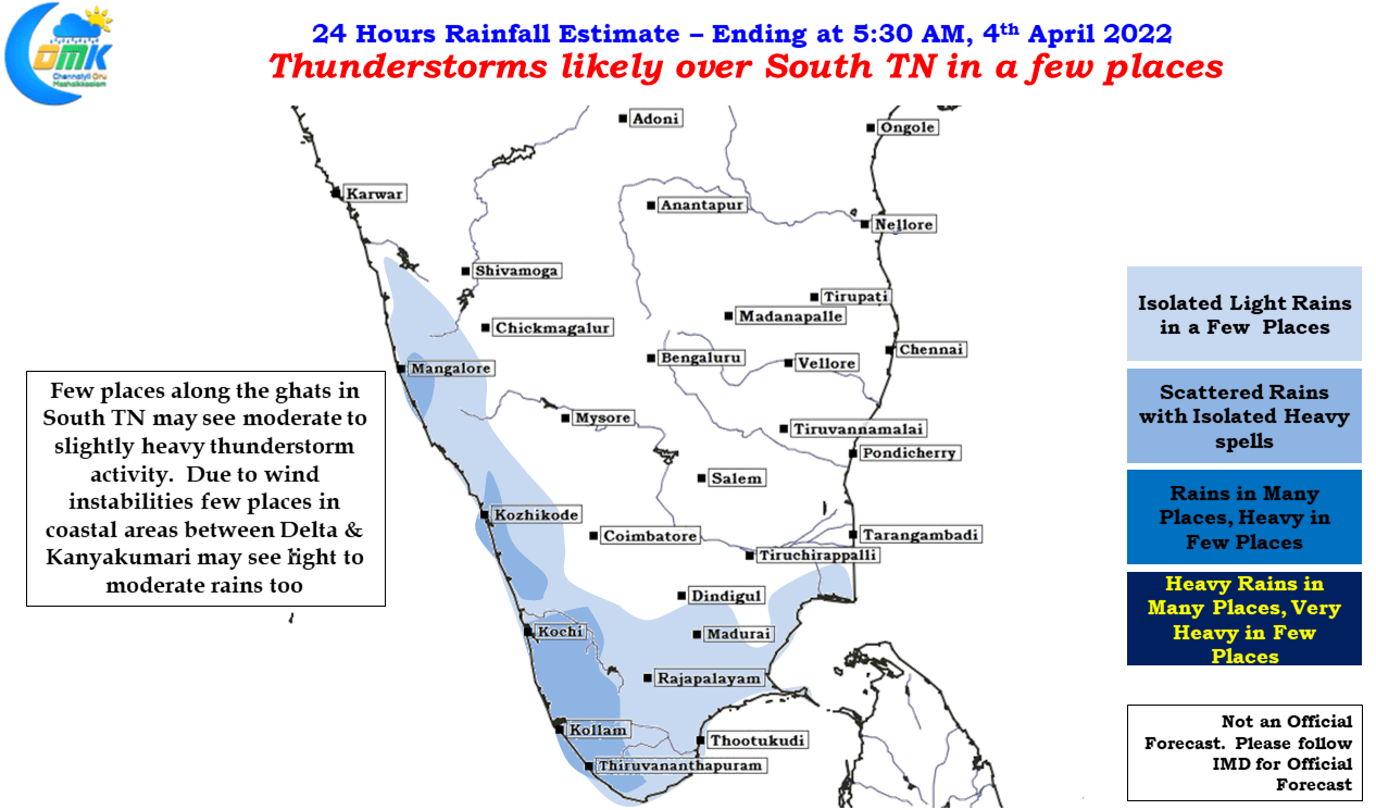
Thunderstorms likely over South TN in a few places
Yesterday saw thunderstorms return to parts of Tamil Nadu including some inteiror areas like parts of Delta, Virudhunagar, Sivagangai & Pudukottai districts under the influence of a weak circulation like feature seen at lower atmosphere off the South TN coast. Few places along the Ghats in Tenkasi district recorded very good rains during the evening…