
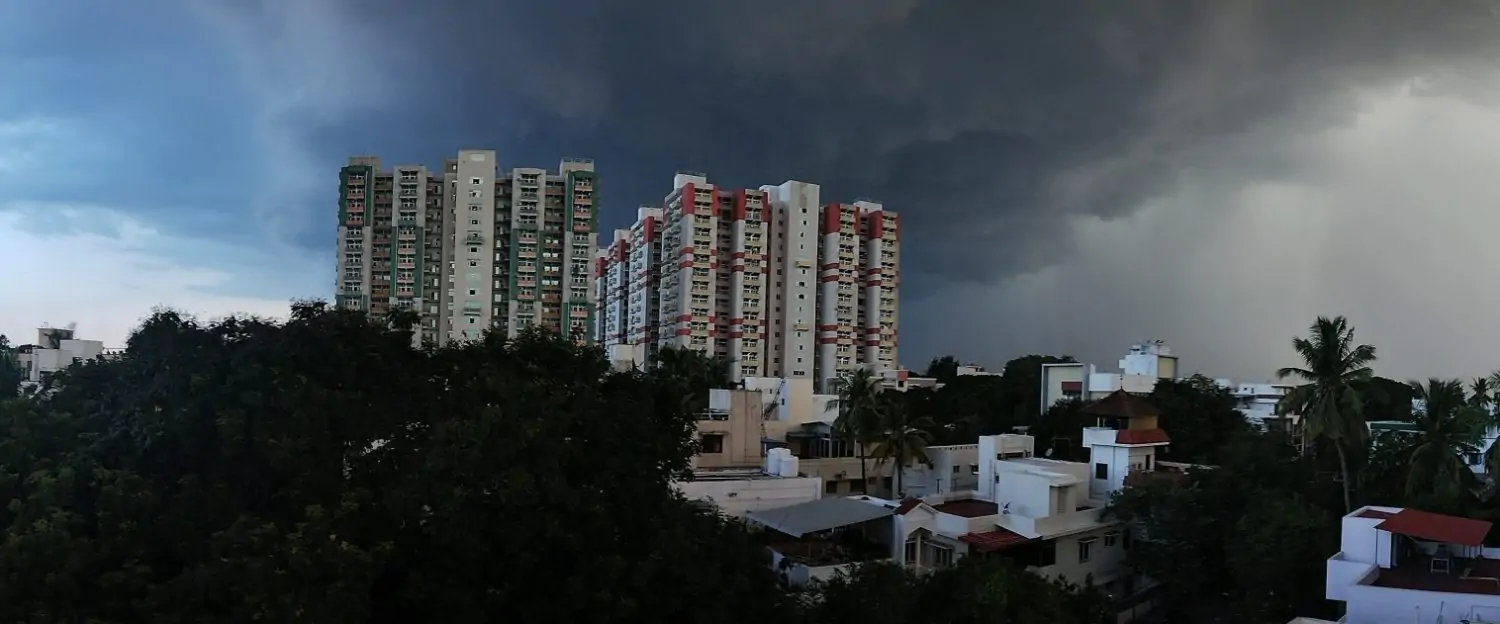
The first month of Southwest Monsoon season 2026 has come to an end. The cumulative inflow in the Cauvery Basin dams of Karnataka for the month was just 4.1 TMC. This is the 5th lowest ever inflow during the month of June in more than half a century. One look at the district wise rainfall…
Category: COMK Analysis
“MADDEN JULIAN OSCILLATION” AS THE DRIVER OF SOUTHWEST MONSOON AND “EQUATORIAL ROSSBY” AS THE DRIVER OF NORTHEAST MONSOON RAINFALL
“Truths remain hidden for long while lies easily propagate across weeks, months or even years just like the week-lies” There is always a necessity to unlearn and relearn as new insights emerge. It is in this context; as one reads the title, this post is likely to serve as a revelation to every weather enthusiast/blogger….
Cyclone Senyar likely to form later today. History in the making
One of the interesting things about weather blogging is monitoring events that are unique. Over the next 12 to 36 hours the current generation of weather watchers may be witness to two historic events unfolding. The first of the one is likely to happen in the next 12 hours or so. Since record keeping in…
Genesis sweet spot decides path of late November cyclones
After more than 3 weeks the daily rainfall chart for TN & PDC showed a positive anomaly on 18th November. The last day to show positive anomaly during NEM 2025 prior to this was 23rd October. The LPA earlier this week that had its genesis over Southwest Bay pretty much broke the dry spell. With…
WHEELER-KILADIS REPRESENTATION OF TROPICAL WAVES AND THE UTILITY OF HOVMÖLLER DIAGRAM
“Hovmöller said the idea of his construction of meteorological fields using a time-geographic coordinate representation was a mere lucky hit that emerged through creative spurt” Recollect from previous post that climate and weather were compared to low and high frequency atmospheric states respectively, similarly in tropical waves, we have four of them: MJO, ER, CCKW…