
The last few days have seen parts of Delta record almost daily thunderstorms with COMK Blogger Krishnakumar regularly sharing rain videos on the dot around 5 PM every day. While out here at Chennai it has been touch & go since last morning with the wind convergence kissing the coast & ensuring most of the time storms say over the open waters of Bay. Nevertheless parts of the city have seen rains for the past couple of days.
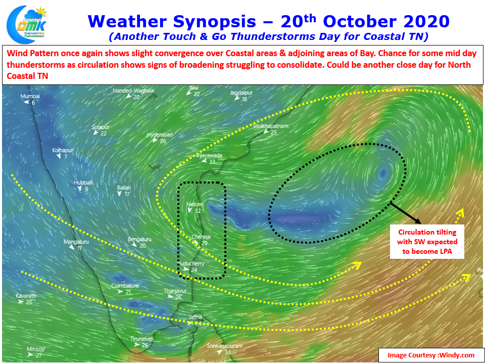
Today once again the wind convergence is touch & go though the broadening circulation is giving some hope about NW winds bringing some thunderstorms to Chennai. The broadening circulation is possibly the reason why there is a delay in consolidating to a Low Pressure Area. IMD expects the Low Pressure to possibly form today but it remains to be seen if the overall suppression that is likely to happen when MJO moves further East could possibly be influencing things happening for the past day or so.

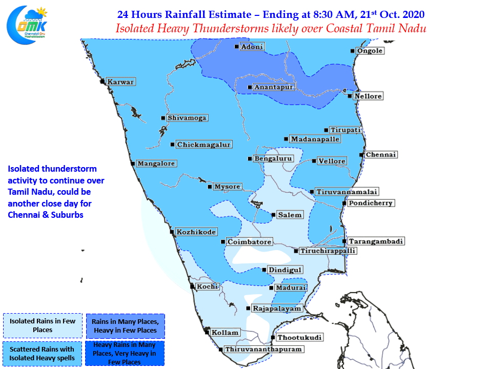
In the meanwhile we could possibly see some morning rains around Chennai through the thunderstorms moving in from NE under the influence of the circulation in Bay. Lucky places closer to the coastline may enjoy better spells while later in the afternoon some remnant moisture could trigger overhead thunderstorms in places about 25 to 50 kms from the coastline.