
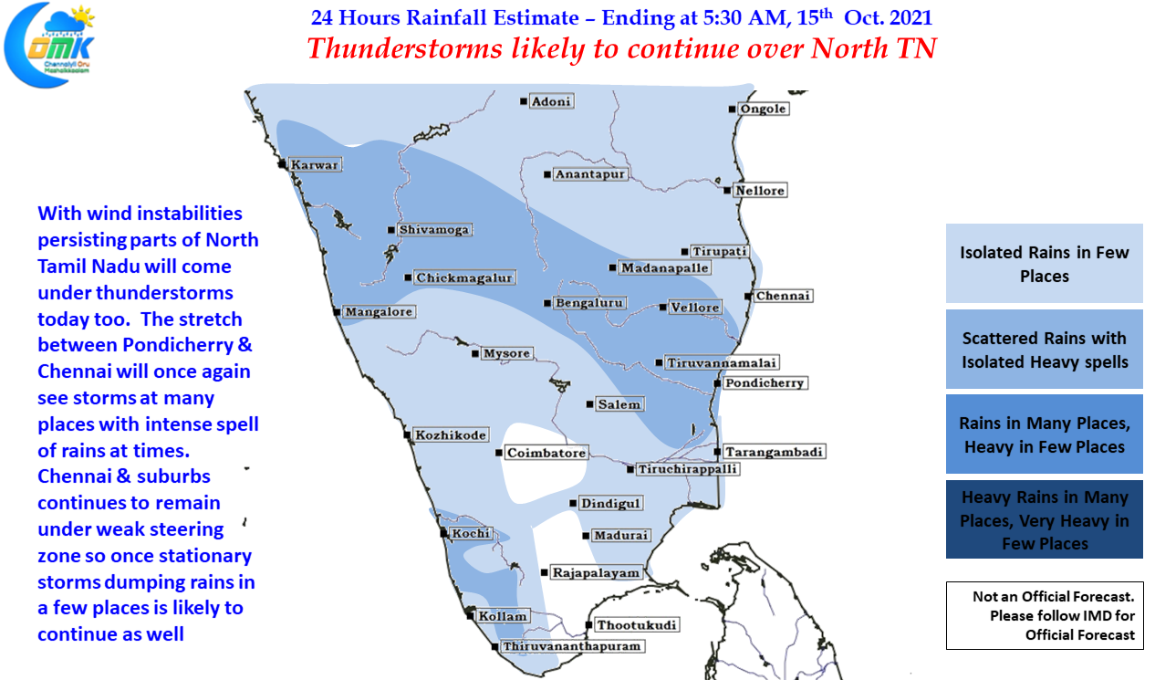
From Tuesday thunderstorms over Tamil Nadu slowly reduced with yesterday seeing most of the action sticking to the North Tamil Nadu areas with parts of Villuppuram, Pondicherry, Chengalpattu, Kanchipuram districts seeing bulk of the rains. Tiruvallur district was one of the biggest beneficiaries of yesterday’s thunderstorms, the IMD AWS at Tirur KVK roughly 5 kms to the West of Tiruvallur Railway Station recorded nearly 5 cms of rains in about one hour’s time as stationary storms like the previous day dumped rains in a few places around Chennai & Suburbs.
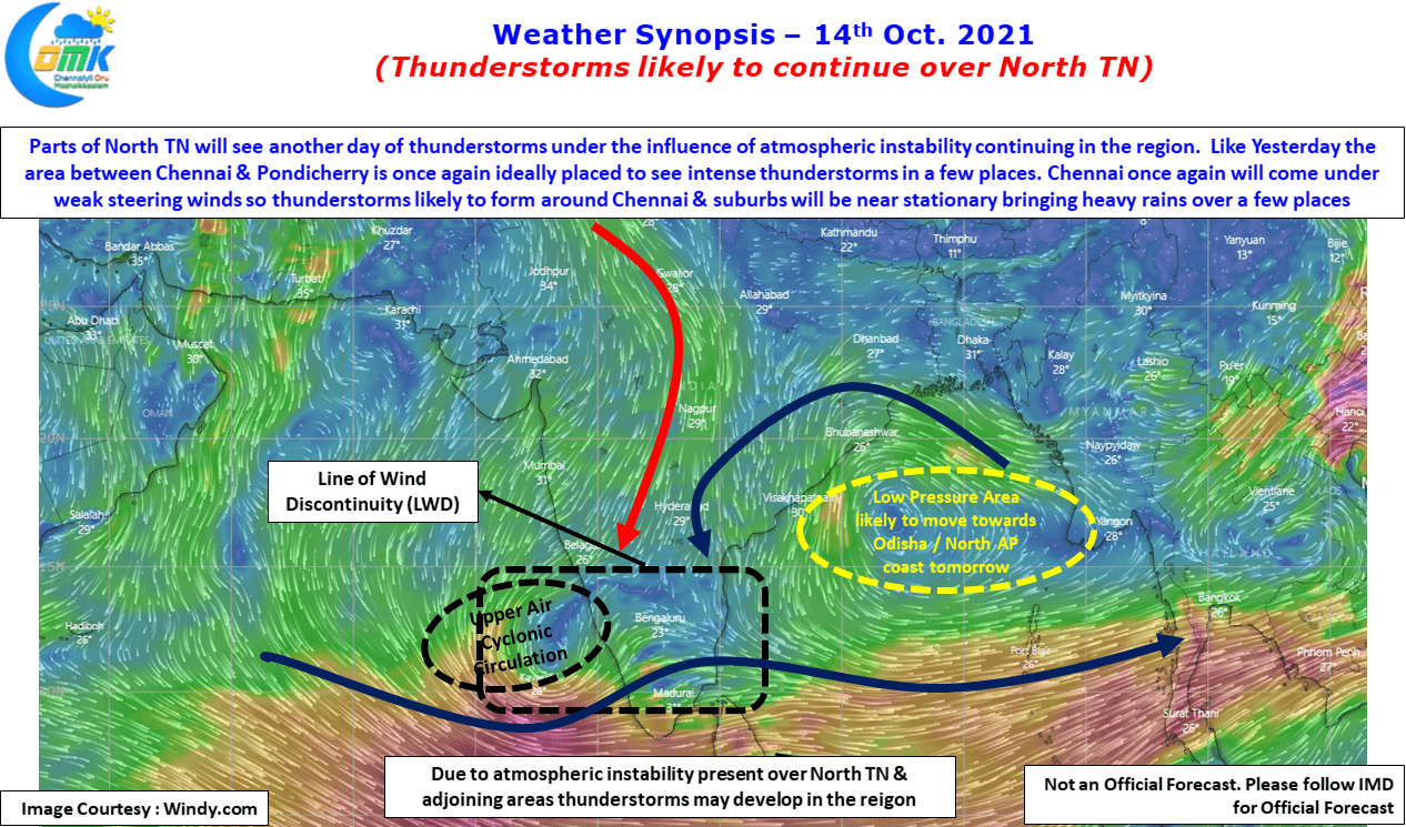
IMD has confirmed the formation of a Low Pressure area over Central / North Bay which is expected to move roughly in a westward direction and reach Odisha / North AP coast tomorrow providing for some rains over the East Coast in the process. This LPA may also trigger some bit of uptick in rainfall activity over the West Coast as well due to moisture drag created by the Low Pressure. Isolated rains in the West Coast to the South of Konkan Coast & along the Western Ghats will see heavy rains and it remains to be seen if another spell of extreme rains over parts of Kerala may trigger possible flooding episodes.
Like yesterday the Line of Wind Discontinuity is seen over parts of North Tamil Nadu & adjoining areas which is likely to once again restrict thunderstorm activity to North TN and adjoining Pondicherry while most of South TN may remain quiet along. The wind charts clearly indicate the increase in Westerly strength and the more streamlined conditions seen. In another case of Rinse & Repeat Chennai & suburbs will once again come under Weak Steering wind zone so thunderstorms that may develop over the Western & Southern suburbs may once again see stationary thunderstorms dump rains over a few places while other places a few 100 mts away may have to remain spectator.