
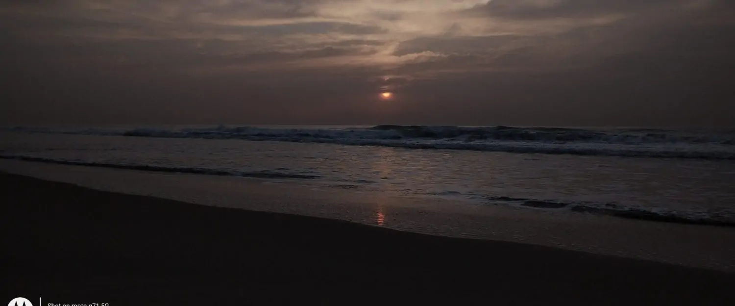
Northeast Monsoon after a very long lull is finally getting back on track. The 36% excess during October is now a distant memory as seasonal status stands at -9% as of yesterday. But there is a fair bit of confidence that the driest phase of NEM 2025 is over. From today rains are liekly to make a return over most of Tamil Nadu. Yesterday saw widespread rainfall over Delta coast with few places seeing heavy spells. Chennai and suburbs saw light rains late night yesterday with morning hours bringing moderate rains over a few places along the ECR stretch south fo Kovalam.
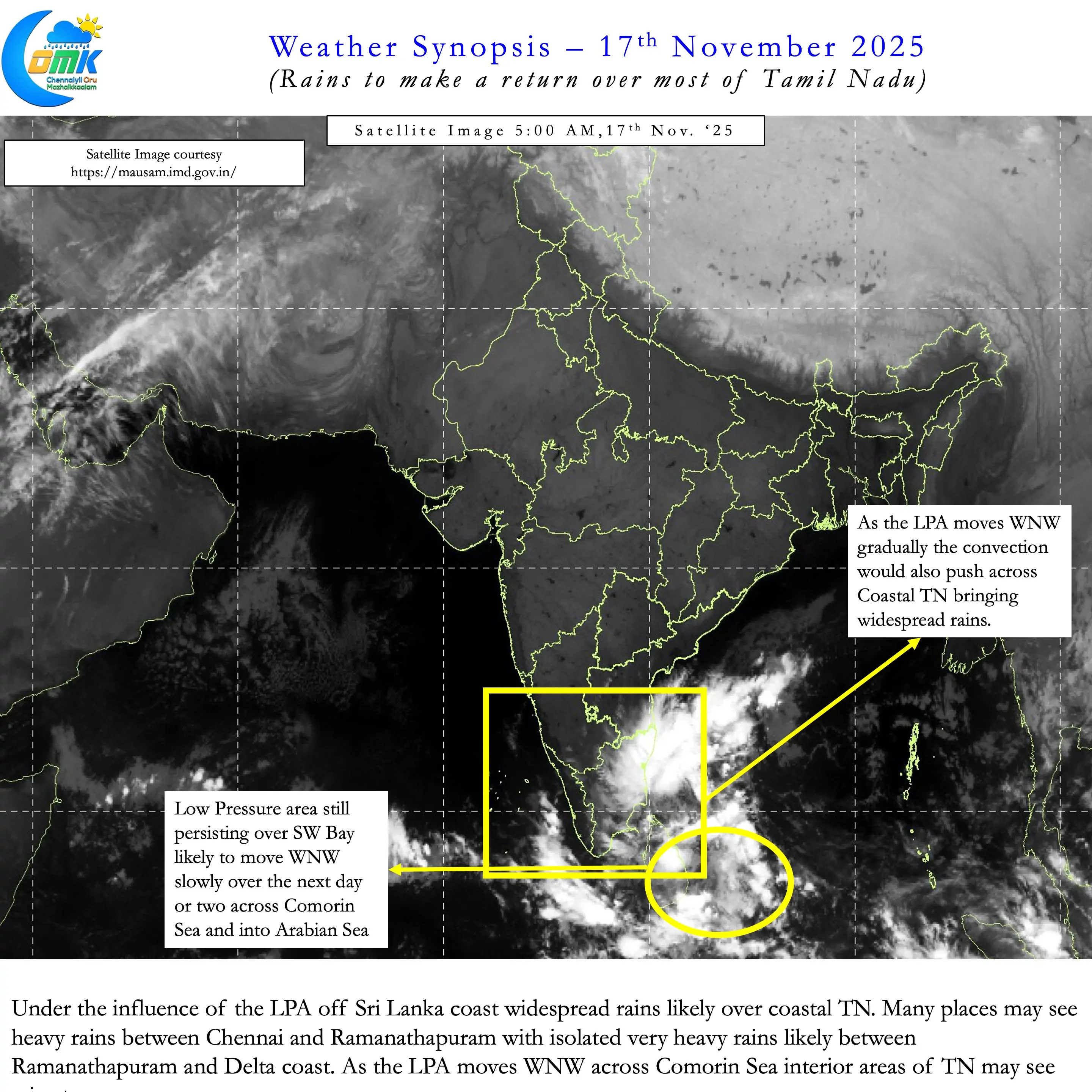
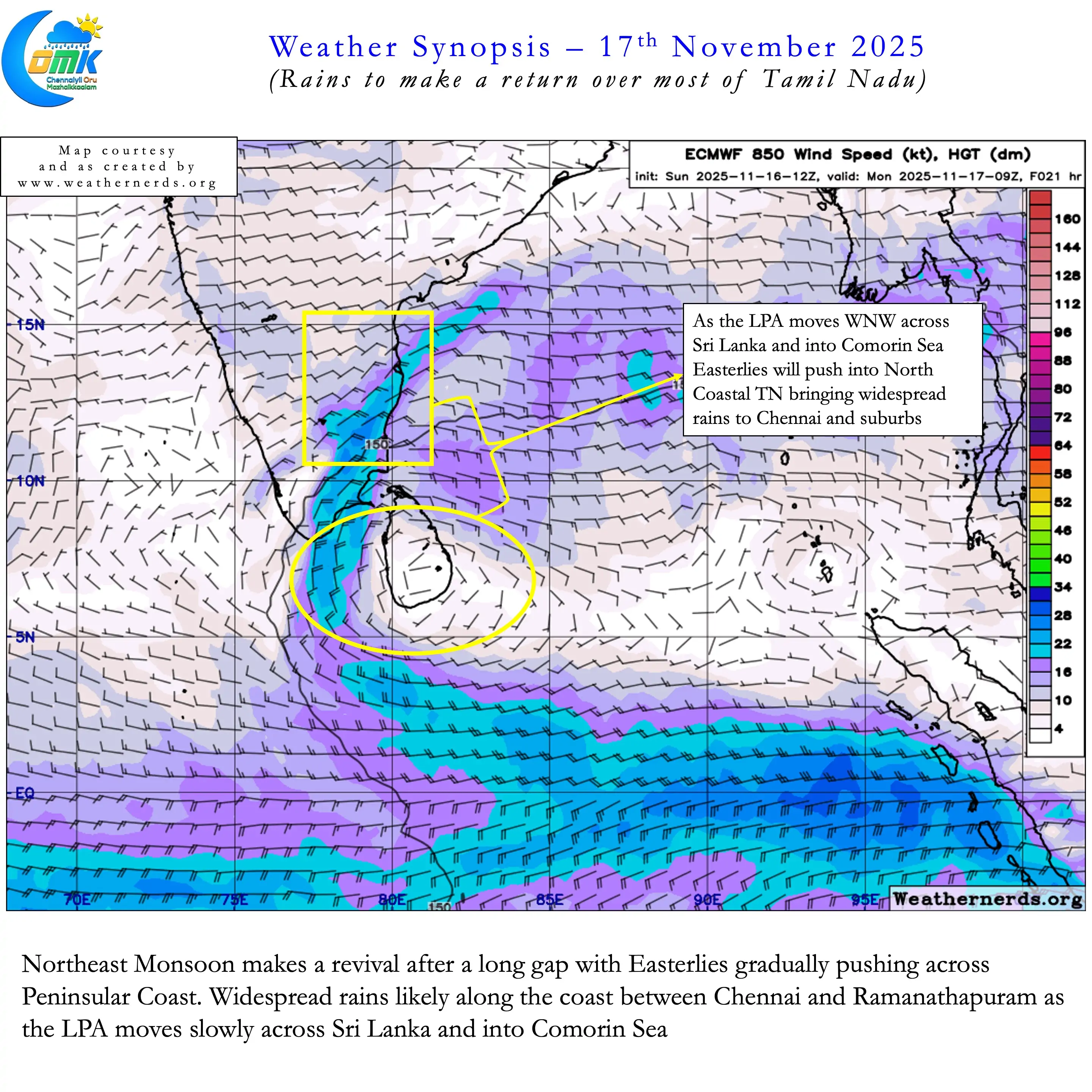
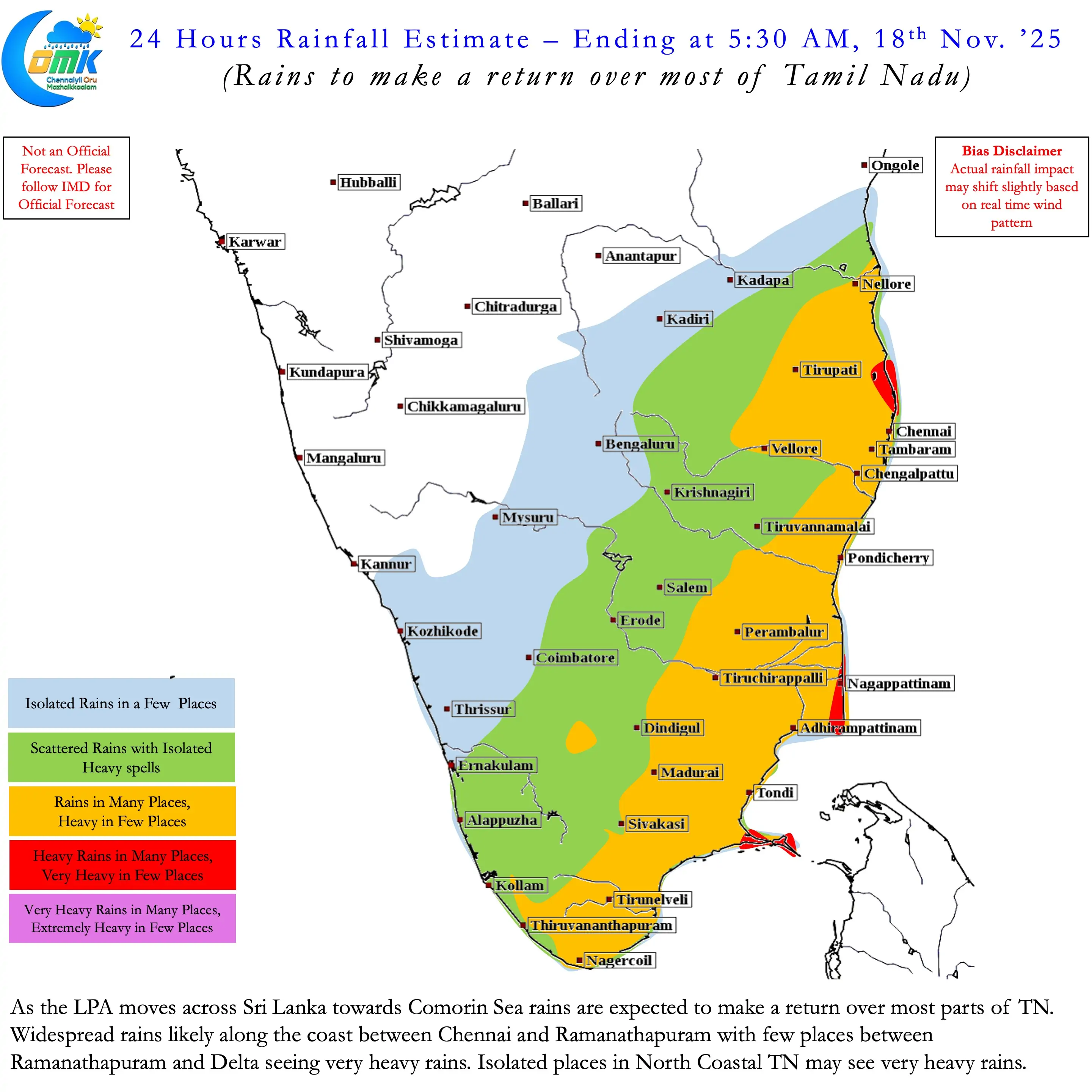
The LPA currently off Sri Lanka south expected to move WNW across Sri Lanka towards Comorin Sea. As it makes this movement convection is also likely to push across Coastal Tamil Nadu. This would bring about a return of rains along with stronger Easterlies. Over the next couple of days as Easterlies strengthen coastal areas will see widespread rains. The stretch between Chennai and Ramanathapuram may see heavy rains in many places. Few places between Ramanathapuram and Delta may see very heavy rains. There is a chance isolated places over North Coastal TN may see very heavy rains today.
Way back in 2016 when pretty much entire November Cyclonic Storm Nada brought an end to the dry spell. Though the rains were not very heavy despite making landfall over Delta it broke the shackles of the suppressive conditions that prevailed then. The current LPA is pretty much going to play the same role. Irrespective of how much rains eventually translate into reality compared to model estimates the return of rains is the first positive step. A step in the right direction towards Northeast Monsoon reviving and going through another active phase.
One may wonder why today’s post does not talk much about events that are likely to happen further down the road. More so with most models now consistently showing a possible cyclone during the week starting 23rd November. It may be prudent to wait for a couple of days for consistency among models on events for next week. In the meanwhile we will see a return of rains and the next few days mornings will be classic NEM days. That would mean early morning rains along the coast. Some of the remnant moisture would become thunderstorms in interior areas as Easterlies return back to strength.
The wheels of Nature including Monsoon rotates at its own pace. It will never slow down / speed up based on our expectations, whims and fancies