
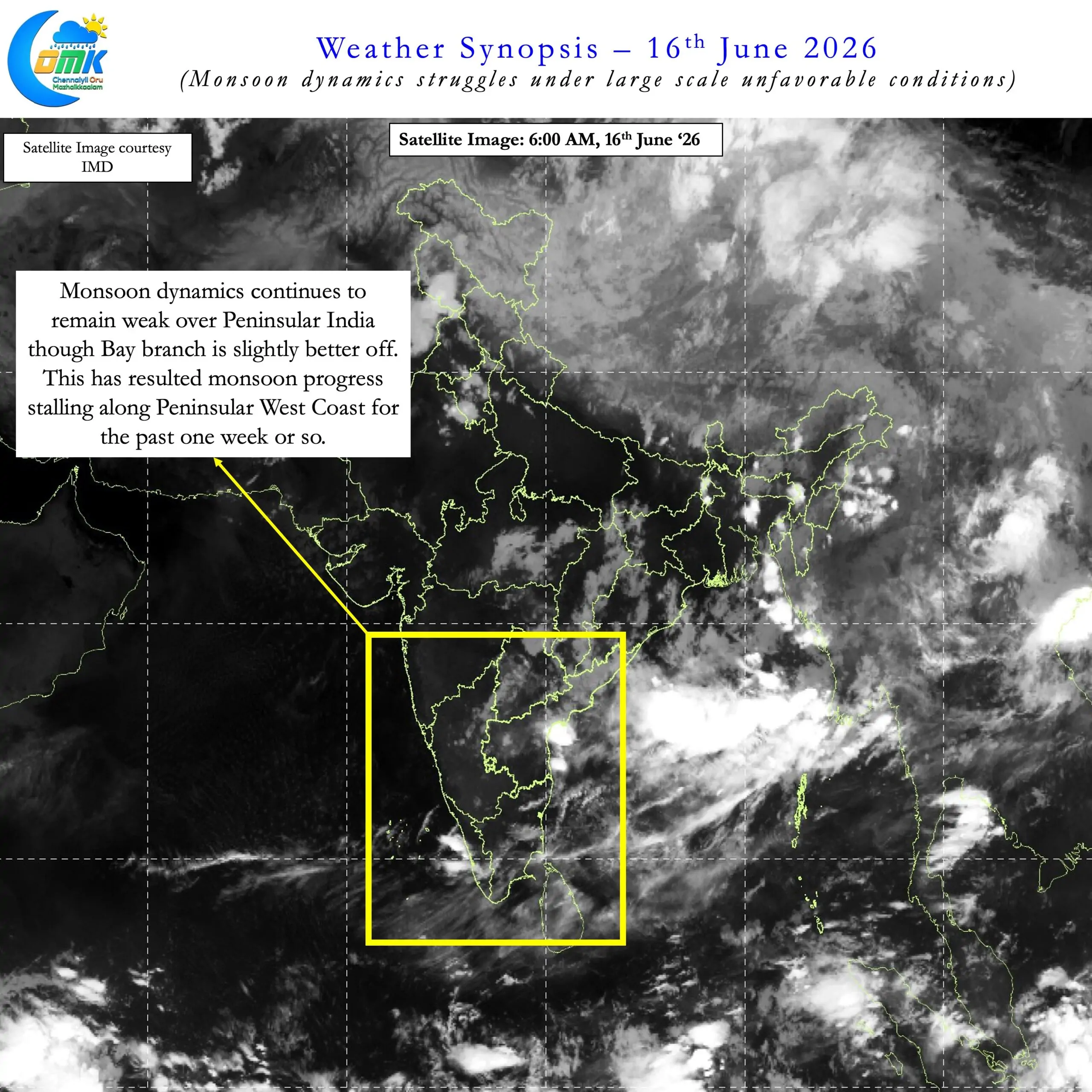
The first fortnight of June is now behind us. Monsoon dynamics has continued to stutter along during this period after making onset over Kerala on 4th June. The overall performance for the country stands at -32%. Among the Peninsular West coast sub divisions in the strictest sense only Lakshadweep is in positive zone. Kerala & Mahe though under normal category as per IMD classification is at -6%. The other two heavy weights Coastal Karnataka and Konkan & Goa at at -29% and -76% respectively.
A look at the monsoon progress chart also indicates the weakness in the monsoon dynamics. Monsoon touched upon Goa on 5th June. Since then it has only progressed up to Harnai a distance of about 300 kms to the North. Since 8th June effectively monsoon progress along Peninsular West Coast has stalled. With another 3 / 4 days of weak monsoon dynamics we are effectively looking at an almost two week delay for monsoon onset over Mumbai.
The latest weekly SST anomalies in the Nino 3.4 region is at 0.9°C indicating the strengthening El Nino conditions. This is now reflecting in how MJO has been and is likely to behave. During the month of May MJO made a quick transit across Indian Ocean and into Maritime Continent. Subsequently for more than 3 weeks it has spent travelling across Pacific Ocean and Western Hemisphere. This effectively meant monsoon dynamics struggled against large scale suppression over the Indian Ocean. The base state under the influence of developing El Nino is playing a crucial role in this transit of MJO across the globe.
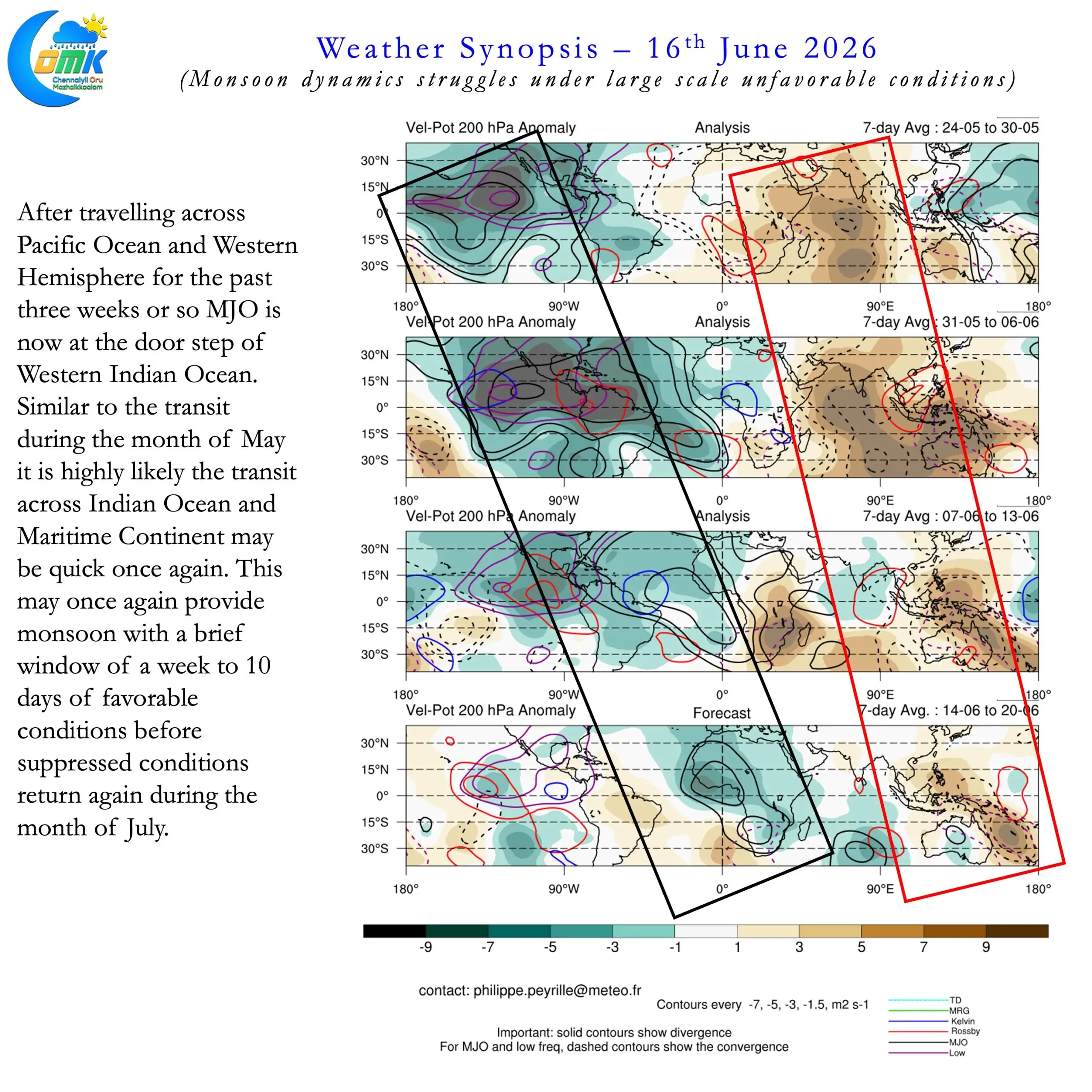
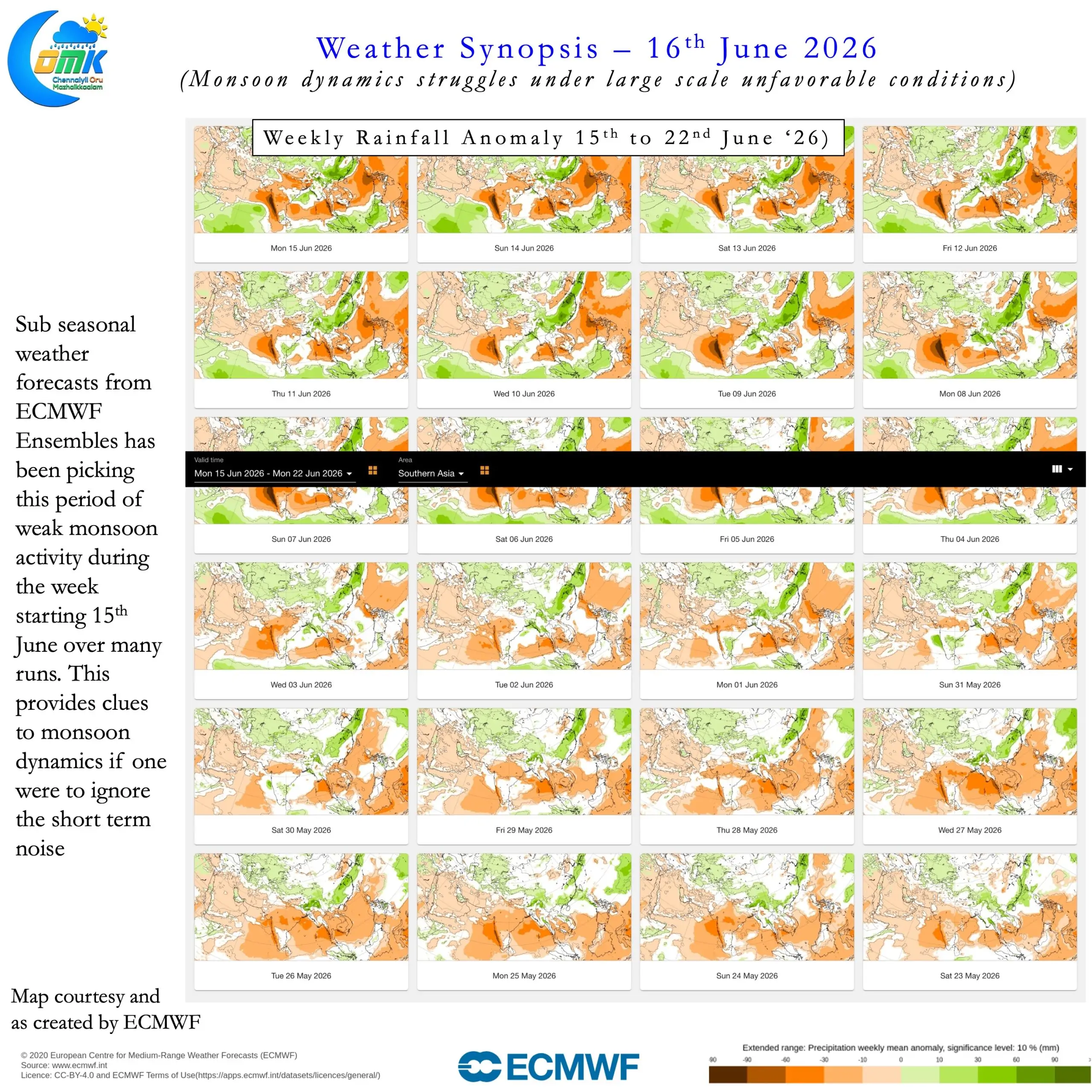
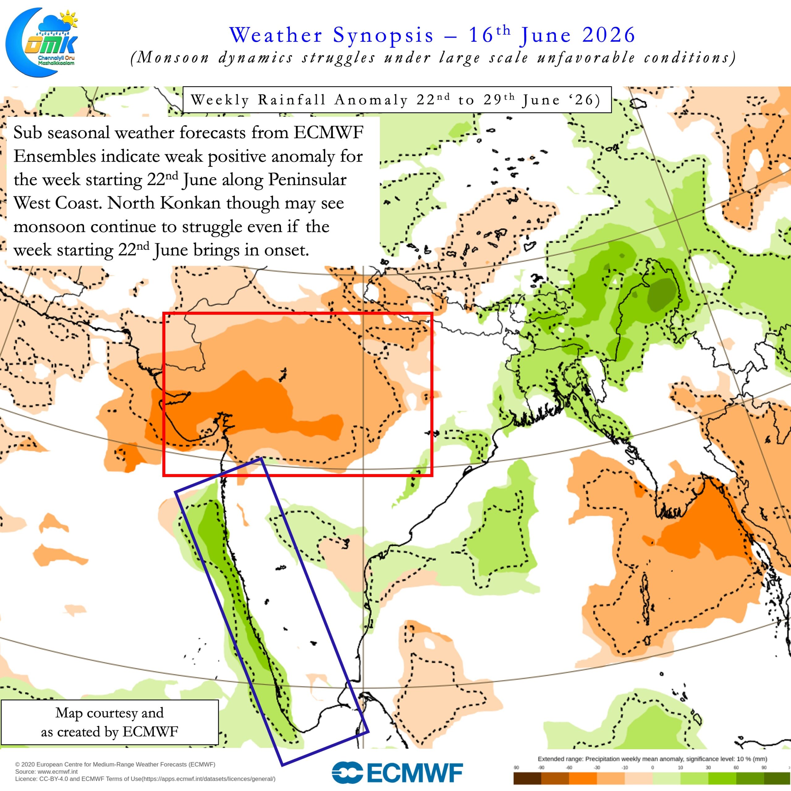
MJO is now at the door step of Indian Ocean in its eastward progression from Western Hemisphere. Similar to the month of May we are likely to see a quick progression across Indian Ocean and Maritime Continent. During this phase it is likely to weaken as well as it tries to regenerate itself once again over the Pacific Ocean. July is a crucial month for Southwest Monsoon. Effectively a make or break month overall along with first fortnight of August. If we see base state interfere with MJO once again then we may see suppressed conditions continue during July as well.
But as we always say two weeks is a very long time in weather so we may see things change. One small change that is good news is the shift in IOD dynamics. After tanking to -0.43 during the weak ending 31st May the last two weeks have seen a progressive climb. The current IOD value is at -0.13 for the week ending 14th June. So it could mean the progress towards positive IOD may kick on gradually from now on. How much it peaks around August / September may influence NEM performance later in the season. Like 2023 IOD may come in late to help Southwest Monsoon this year too.
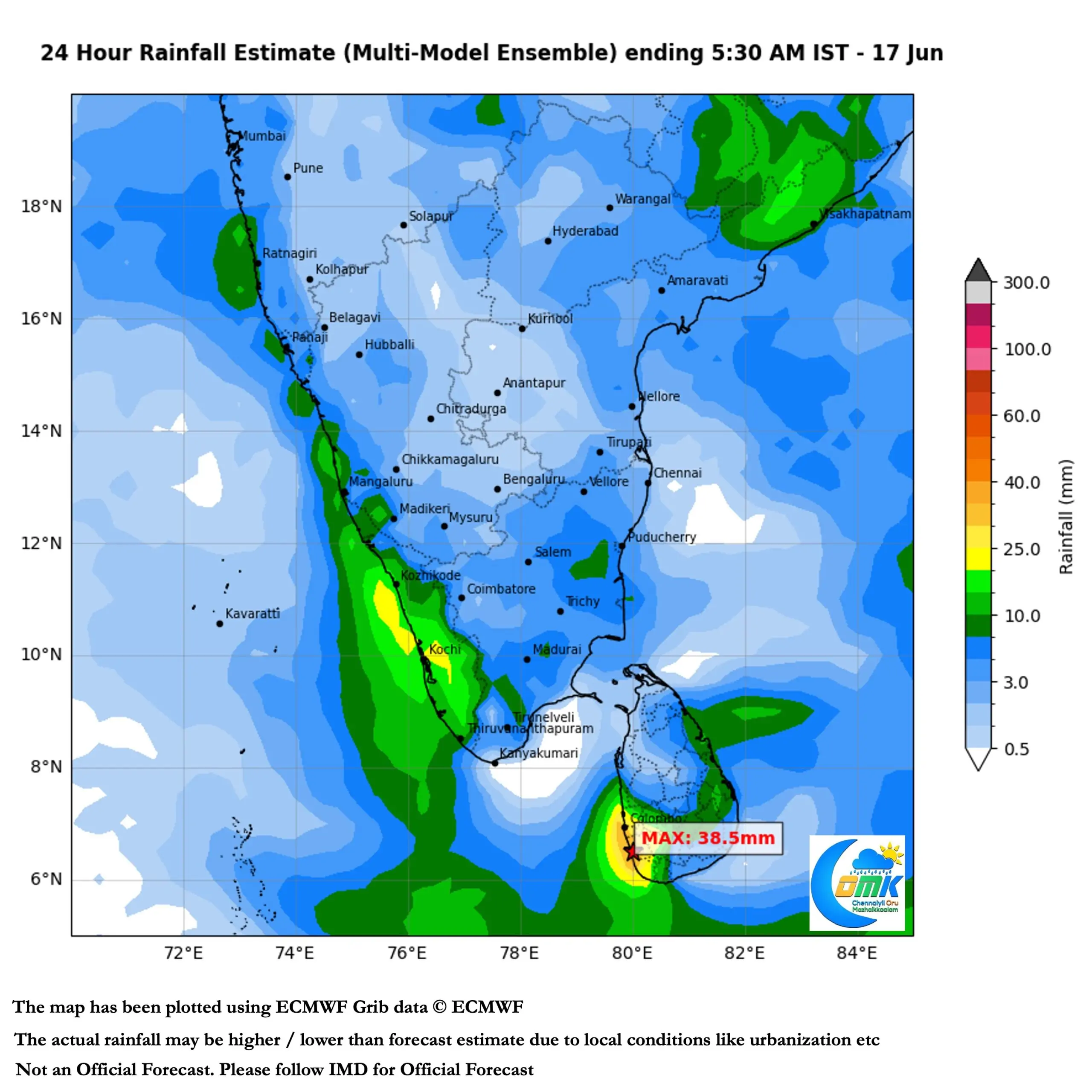
On the local weather front with drier conditions prevailing we may see hot afternoons continue over the plains of TN. Models indicate isolated thunderstorm activity today while tomorrow and the day after we may see thunderstorms at many places due to weak wind instabilities over the region. The wait for Chennai meanwhile continues and we hope the dry spell is broken soon.