
With Spring Equinox now behind us, the sun’s rays now is expected to gradually move up towards Tropic of Cancer as it heralds the Summer for Northern Hemisphere. The last couple of days have also seen temperatures gradually increase over interior Tamil Nadu with places like Karur, Erode etc staying above the 100ºF mark.
But the good news is along with the increase in temperatures thunderstorms also have started to show up more regularly with places along the ghats getting spells of evening showers through convective development triggered by the changing wind pattern. Strengthening LWD conditions is also an indicator of how seasonal wind change is also likely to progress. With South TN coming under weak lower level Easterly influence there is some bit of moisture that is getting pushed into these areas which helps in the development of convective thunderstorms later in the day.
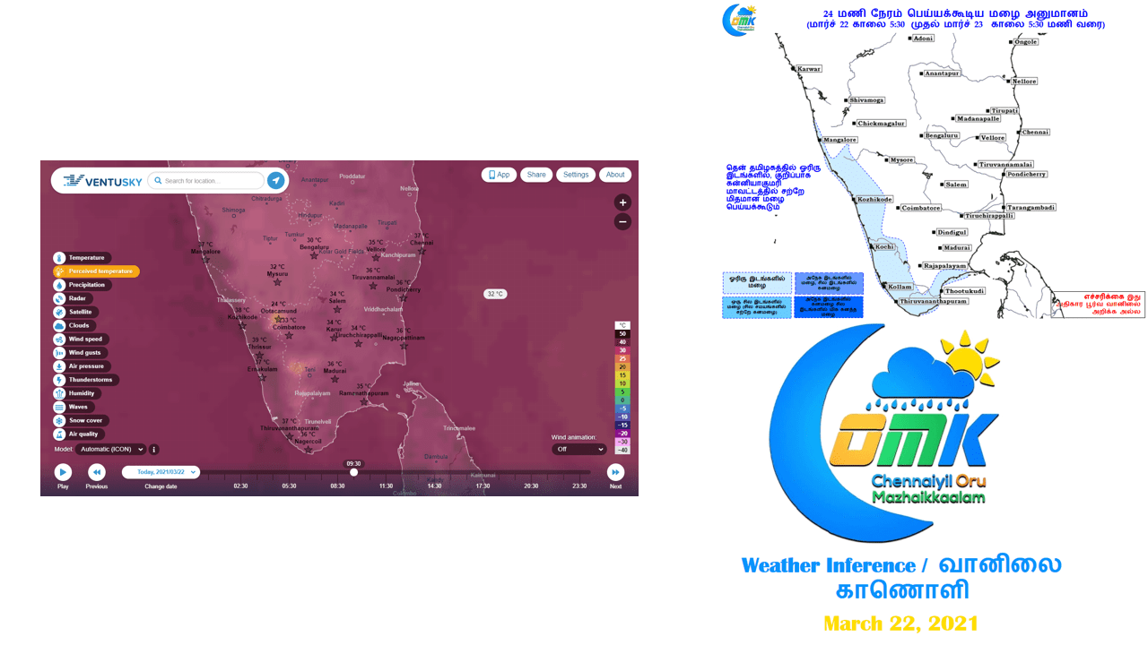
Over the next couple of days weather models are indicating an increase in day time temperatures over Tamil Nadu, particularly over the West Interior areas which could mean few places coming closer to 40ºC mark as the state gets closer to the election date. The last state election during May 2016 saw Roanu come as a blessing in disguise by not only bringing heavy rains to many places along the coast including Chennai, it also kept temperatures under check across the state on election day. This year some weather models indicate a possible disturbance to develop in Bay towards the month end, it remains to be seen how it evolves as currently there is neither consistency or clarity among models on this development.