
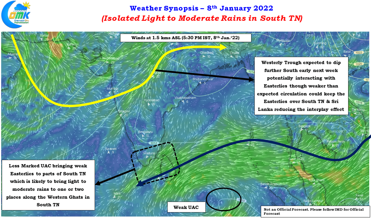
Some of the suburbs of Chennai, particularly to the south recorded a short spell of drizzle / light rains yesterday under the influence of the Weak Easterlies created by the Upper Air Cyclonic Circulation to the south of Sri Lanka. The circulation is seen less marked making the Easterlies weaken and influencing a smaller area over the coast of Tamil Nadu. All action though is happening over the North as many places in Rajasthan, Punjab, Haryana recorded good rains under the influence of a strong Western Disturbance passing through the Indian Sub Continent. The associated westerly trough is expected to dip into parts of Peninsular India early next week which is going to be an interesting event to watch in the backdrop of the December 30th extreme rainfall episode over Chennai & suburbs.
Unlike last week the slightly weaker circulation this time around could potentially become a welcome development for the farmers of Tamil Nadu who are right on the verge of their harvesting cycle only waiting for the Pongal festivities to be over before getting into harvesting their paddy crops in full flow. The weaker Easterlies that could be more pronounced over Sri Lanka & South TN could potentially reduce the influence of the interplay between the upper level Westerlies triggered by the dipping Westerly trough & lower level Easterlies. Nevertheless we need to keep a close watch on real time observations to monitor how this pans out during the first half of next week.
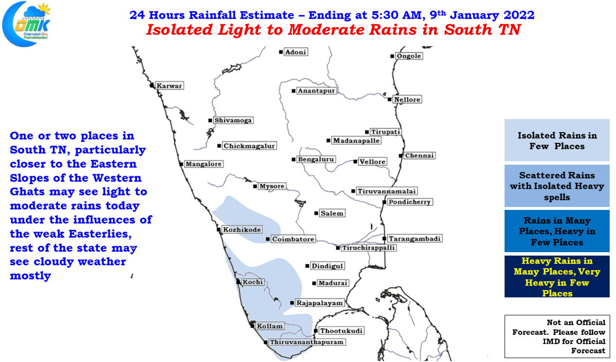
Today we could see some light to moderate rains over one or two places in South Tamil Nadu, particularly closer to the Eastern Slopes of Western Ghats. Occasionally the spell could be heavier in isolated places. The rest of the state may be relatively drier due to the incursion of the dry Northeast winds. It remains to be seen if early next week could see a firm enough change in this pattern to trigger another rainfall episode over Coastal TN