

Last few days saw parts of South Tamil Nadu & places along the Western Ghats record convective thunderstorms bringing some heavy rains to few places. In particular places like Thenkasi, Kotagiri, Sivagiri, Andipatti etc recorded heavy spells of rains during the week. The wind charts indicated the LWD type of conditions that prevailed along the Western Ghats creating right conditions for these thunderstorms to develop & thrive. In the same context we also saw few places in Kerala as well record hailstorms & intense thunderstorms too.
While this is not yet the start of Pre Monsoon Thunderstorms it gave us an indication on the shape of things to come as we get closer to March equinox on 21st of this month, the day when the sun’s rays touch equator and start moving across Northern Hemisphere. This will bring forth the summer months for Indian Sub continent and along with it the rains too, initially as pre monsoon thunderstorms & subsequently as Southwest Monsoon.
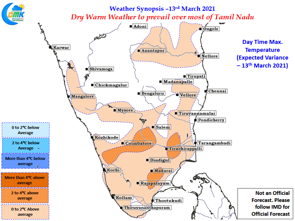
In the immediate present though it is going to be dry warm weather that is likely to prevail over Tamil Nadu for the next couple of weeks with not much rains in prospect. We will have to wait for the winds to once again strengthen from the East & along with it develop the LWD conditions for thunderstorms to return. As things stand it appears until March end no major spell is likely though parts of South TN & adjoining areas of Kerala could catch up some rains towards the last week of March.