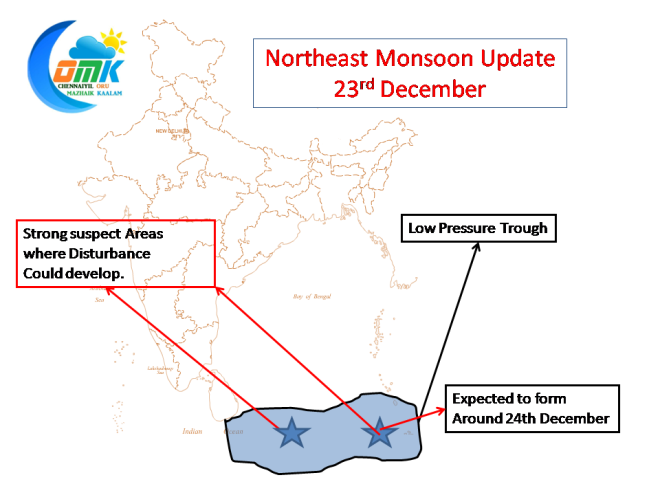
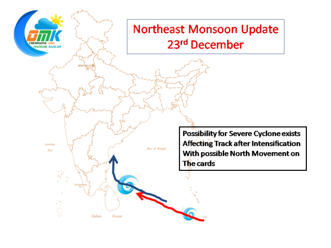
The expected disturbance in Bay of Bengal is coming along nicely south of Andaman Islands. Over the next 24 to 48 hours a possible low could form near Sumatra Islands which could shape up as the future system destined to possibly give some decent rains to Tamil Nadu. Though its difficult to predict where a disturbance could actually develop in a low pressure trough there are some indications that provide two strong suspect areas. We expect the one near Andaman to develop in all probability. Based on the assumption we are providing the expected sequence of events to unfold between 24th December to 30th December
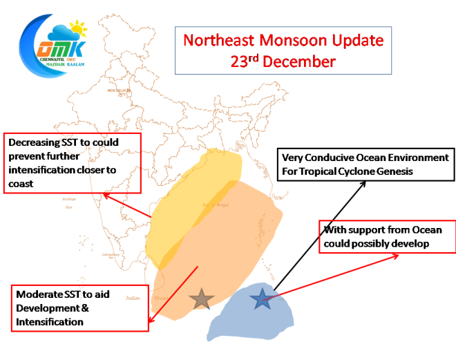
The South East Bay is extremely conducive for Tropical Cyclone Genesis in terms of support from Ocean by way of very good Sea Surface Temperature.
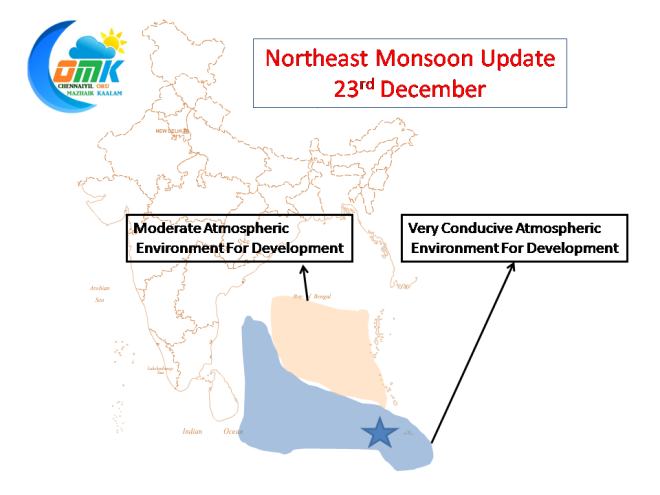
Additionally the expected area where the disturbance is going to take birth is also conducive with atmosphere support as well by way of low to moderate shear all around
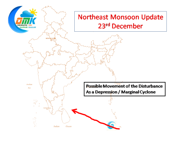
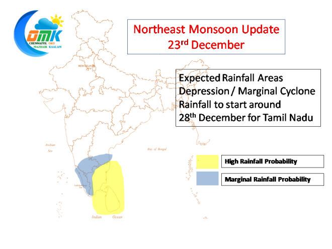
Taking into account prevailing conditions we expect the disturbance to become a Depression or a Marginal Cyclone while it reaches just off Sri Lanka.
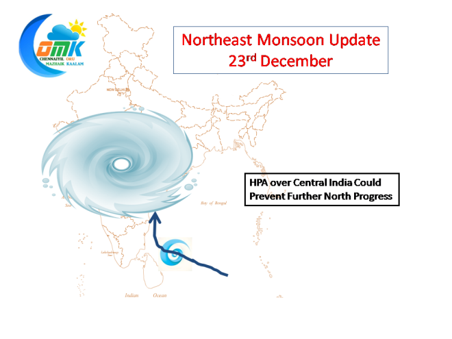
There is a possibility the system could intensify further and become a Severe / Very Severe Cyclone which could alter the track and make it take a Northward turn, though the presence of a very strong HPA over Central India could prevent any movement beyond 15N.
As things stand its difficult to predict at which time of its life cycle would the system intensify into Severe Cyclone thereby bring the North movement into equation. While we do not discount the possibility of a severe cyclone happening taking into account the SST around the coast of Tamil Nadu it might still end up coming close to the Tamil Nadu coast as a Marginal Cyclone / Depression providing decent rainfall opportunities for Tamil Nadu starting from 28th of December

